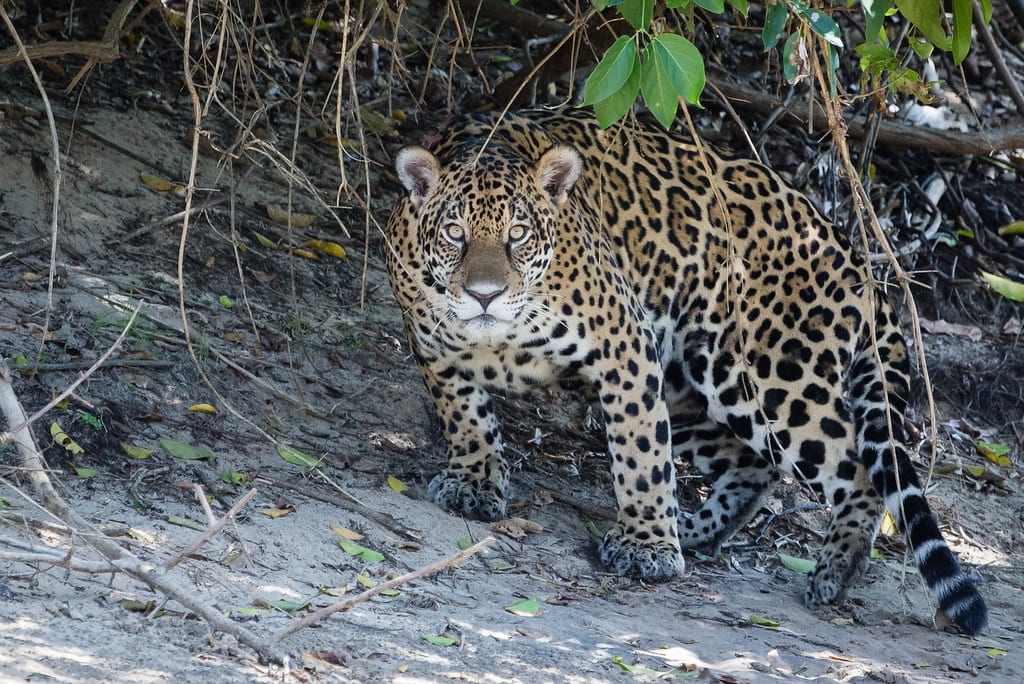
In June 2026, a jaguar nicknamed Tape'ỹ wandered out of the forest and into the streets of Foz do Iguaçu, Brazil. Rescued and released into Iguaçu National Park, the animal became an unlikely mascot for a much bigger project: the first continent-wide map of where jaguars actually need to roam to survive.
- 172 GPS-collared jaguars tracked across 8 countries
- 307 core habitat areas identified
- 176 corridors mapped connecting them
- 7.75 million km² of core habitat covered in total
The study, published in the journal Global Change Biology and led by Guilherme Costa Alvarenga of the University of Oxford and Brazil's Mamirauá Institute, pooled movement data from jaguars (Panthera onca) collared in Argentina, Belize, Brazil, Colombia, Costa Rica, Mexico, Paraguay and Peru. The result is the clearest picture yet of how the species' remaining populations connect — or don't.
What the map actually shows
The single largest core area the researchers identified spans 6.5 million km², stretching across the Amazon, the Llanos grasslands, the Gran Chaco and the Pantanal wetlands — a reminder of how much of the jaguar's range still functions as one connected system. Brazil holds the world's largest jaguar population.
Not every country fared as well. The species is already extinct in El Salvador and no longer found in Uruguay, underscoring that connectivity gaps aren't hypothetical — they've already cost the jaguar ground in parts of its historic range.
Money is already moving on the gaps
The map isn't just an academic exercise. Four conservation organizations — Fundación Rewilding Argentina, Nativa Bolivia, Fundación Moisés Bertoni in Paraguay, and Onçafari in Brazil — have launched the Jaguar Rivers Initiative, an $80 million effort to protect and restore 1,200 km² along the Paraná River Basin, one of the connectivity gaps the new data highlights.
Argentina's Iberá Park offers a preview of what that investment can do. Jaguars disappeared from the wetland park for 70 years before Rewilding Argentina reintroduced a mother and two cubs in 2021. The population there now sits at just over 50 animals, with new cubs born every year.
"The animal's presence after 70 years absent is now sustaining a self-reproducing population of more than 50 jaguars" — the kind of outcome the new connectivity map is designed to replicate at scale, according to researchers involved in the Iberá reintroduction.
Why connectivity, not just habitat, is the goal
Protecting isolated patches of forest has long been the default conservation strategy, but a core area that can't be reached by dispersing young jaguars eventually becomes a genetic dead end. The 176 corridors mapped in the new study give governments and NGOs a prioritized list of exactly which land to target next, rather than guessing.
For Tape'ỹ, now back in the Iguaçu-Atlantic Forest green corridor — an area holding fewer than 300 jaguars — the map's findings are personal: his survival now depends on whether land managers use data like this to keep that corridor open. For the species as a whole, it's the first time anyone has had a continent-spanning blueprint to work from instead of a patchwork of country-by-country guesses.
Full coverage of the study and the reintroduction efforts behind it is available via Mongabay.